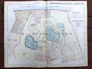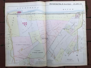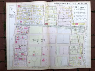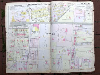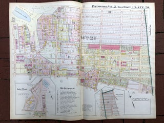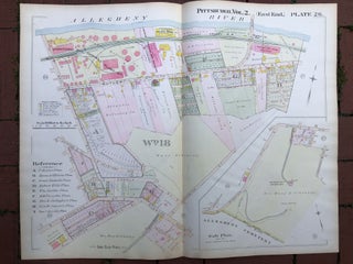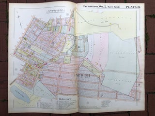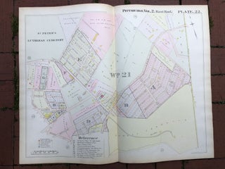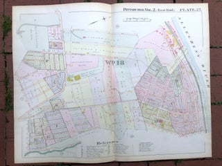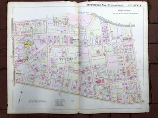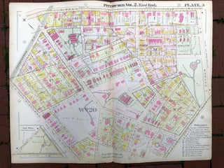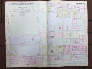
1899 large double-page color map of HIGHLAND PARK, Pittsburgh
Philadelphia: Griffith M. Hopkins, 1899. Map from "Real Estate Plat Book of the City of Pittsburgh, East End, Vol. 2, comprising the 18th, 19th, 20th & 21st Wards." Map measures 28.75 x 22 inches, very good with light edgwear. Shows Highland Park: King Estate, No. Highland, No. Negley, Wellesley, Hampton.....