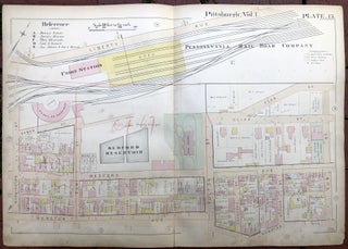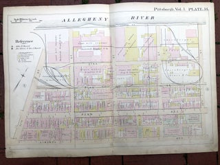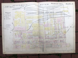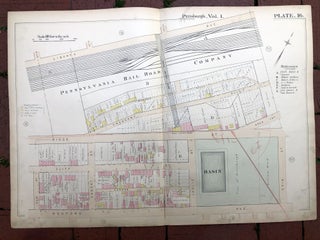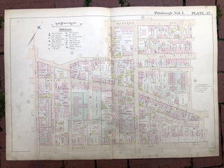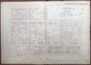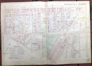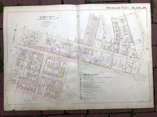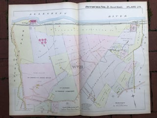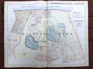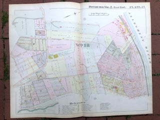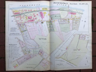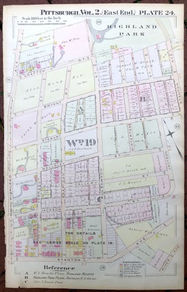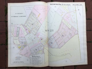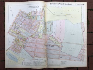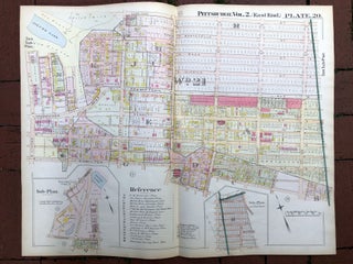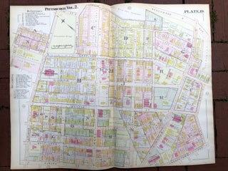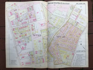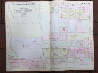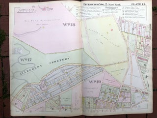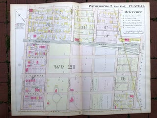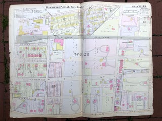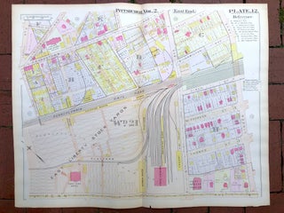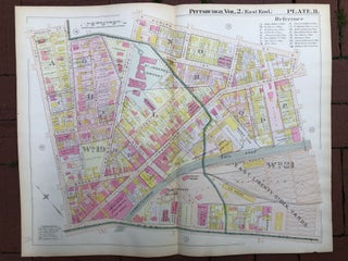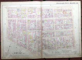
1889 large double-page color map of HILL DISTRICT, Pittsburgh
Philadelphia: Hopkins, 1889. Map from "Atlas of the City of Pittsburgh, Vol. 1." Map measures 27.5 x 19 inches, very good, light edgewear and soil, light pencil notes and marks, and some red pencilling as well. Shows part of the 5th Ave., Wylie, Gulton, Elm.