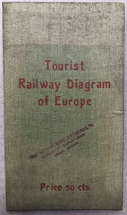
Tourist Railway Diagram of Europe, showing the Faires - Times - Distances between the Principal Cities
Berlin: Hobbing & Co., Ca. 1900. Cloth folder housing map in red and black measuring 22.5 x 22 inches, with fare information and other info for each country on the verso of the map. Cloth a little discolored and soiled, map itself in excellent condition. Rare in commerce and in.....