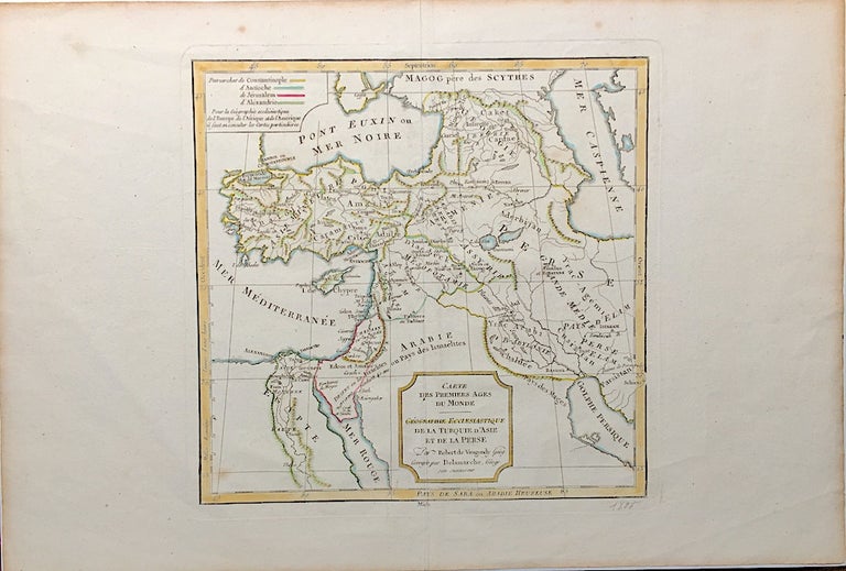
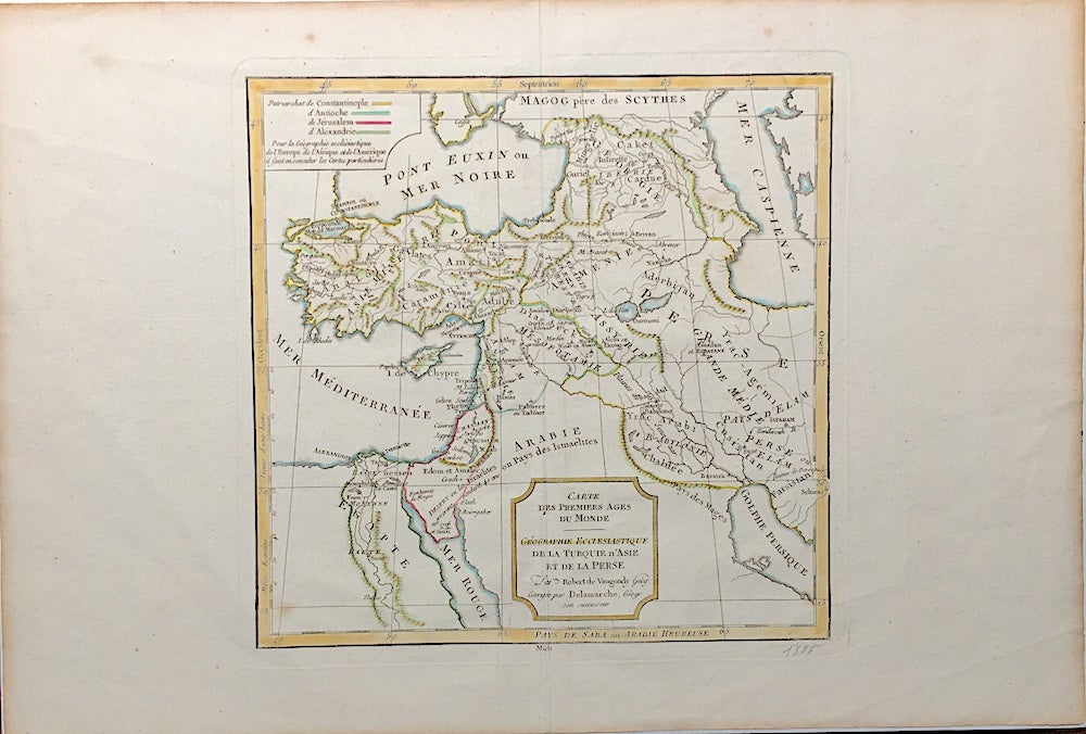
1806 French map of the Holy Land, Turkey and parts of Central Asia in ancient times : Carte des Premier Ages du Monde, Géographie Ecclesiastique de la Turquie d'Asie et de la Perse.
Paris: NP, 1806. Dated 1806 in pencil at bottom of map, we have no reason to doubt this. Sheet measures 18.25 x 12.25 inches, map measures 9.75 x 9.5 inches. Very good, light soil to margins, hand-colored in outline. Very Good. Item #H1665
Price: $37.50
See all items in
Maps & Cartography
See all items by Robert de Vaugondy, Delamarche