Vol. XI (1861), the Map Volume of Reports of Explorations and Surveys to Ascertain the Most Practicable and Economical Route for a Railroad from the Mississippi River to the Pacific Ocean
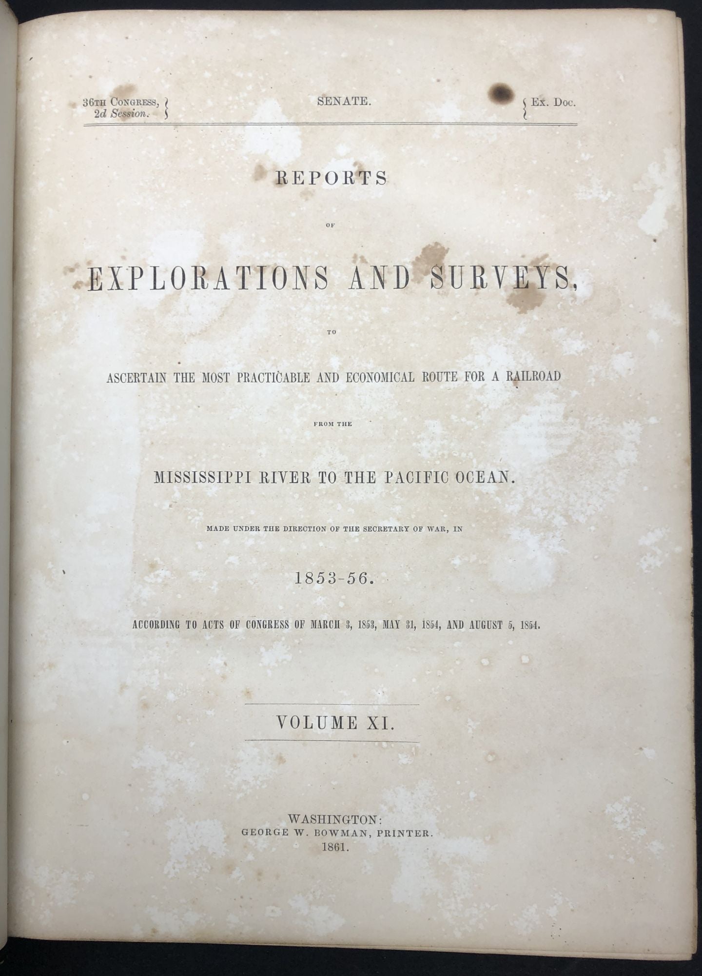
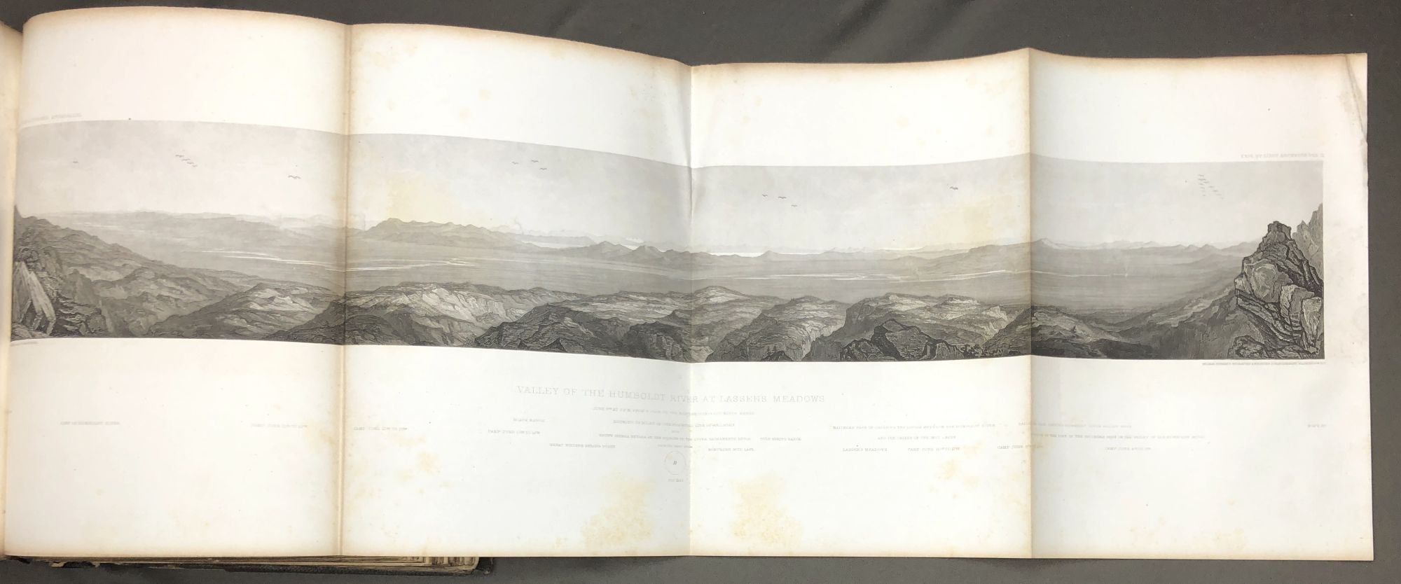
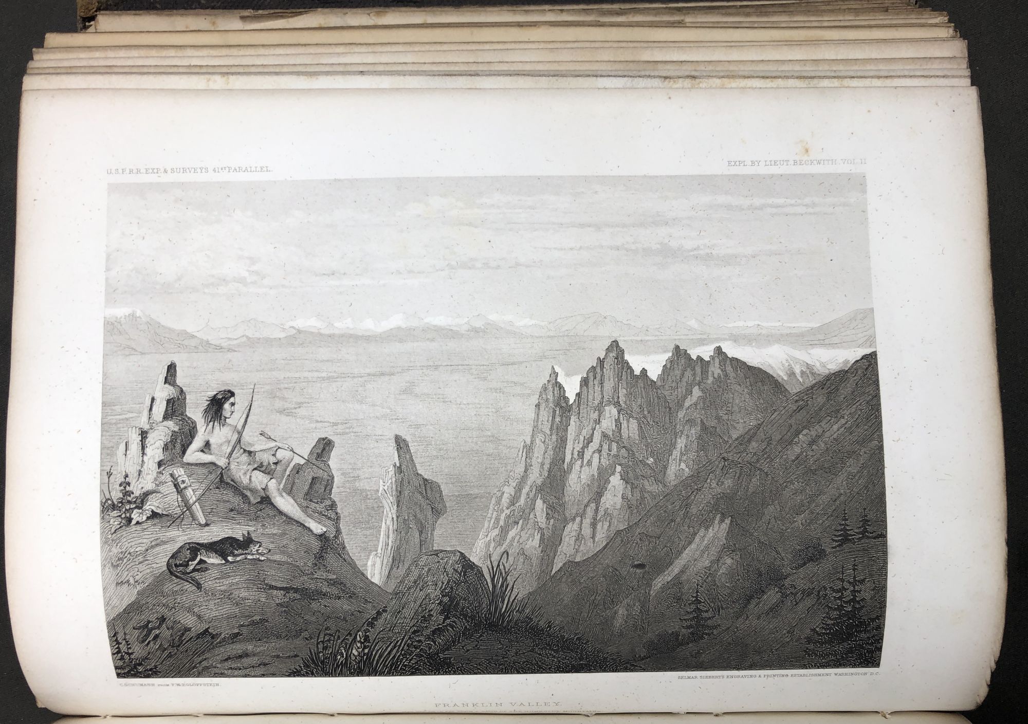
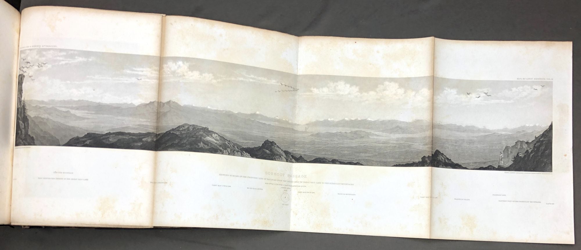
Washington DC: George W. Bowman, 1861. First Printing. Hardcover. Senate issue. Quarto, publisher's black pebbled cloth, binding in fair condition with rubbing, stains, 1.5 inch loss to spine head, splitting along outer joints, contents good to very good, with 12 lithograph b/w plates (5 are folding long panoramas), 4 single page maps in text part, 31 large folding maps & profiles at rear. The first map is the famous Warren "Map of the Territory of the United States from the Mississippi to the Pacific Ocean." Condition of the maps is generally very good; the Warren map has clean 4" tear that has been repaired with pH-neutral document repair tissue tape, two other maps have similar tears, and two additional maps have much shorter tears; one or two maps show some light creasing and rumpling, and several maps have short tears at the stubs by which they're bound in; many exhibit light toning and foxing. It's not easy to open, examine and photograph these maps without harming them, so please forgive us for not giving a better description of them or photos of them, as we would prefer to leave them folded. Other copies at auction mention 13 plates, so it could be that we're lacking a plate; on the other hand other sellers have counted the total maps as 28 folding maps plus the 4 single page maps for a total of 32, whereas our copy has 31 folding maps & profiles, not 28. Sold as is. A copy at Pacific Book Auctions (PBA) sold in 2021 for $2400, described as "Wear to binding, lettering somewhat faded; faint age-toning to pages, occasional foxing throughout, all maps intact and in nice condition with light foxing, and occasional minor chips and tears; very good." Good. Item #H29177
Price: $1,500.00