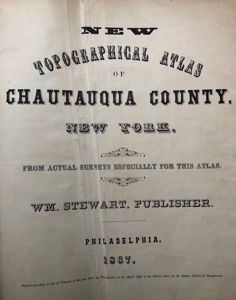
New Topographical Atlas of Chautauqua County, New York (1867)
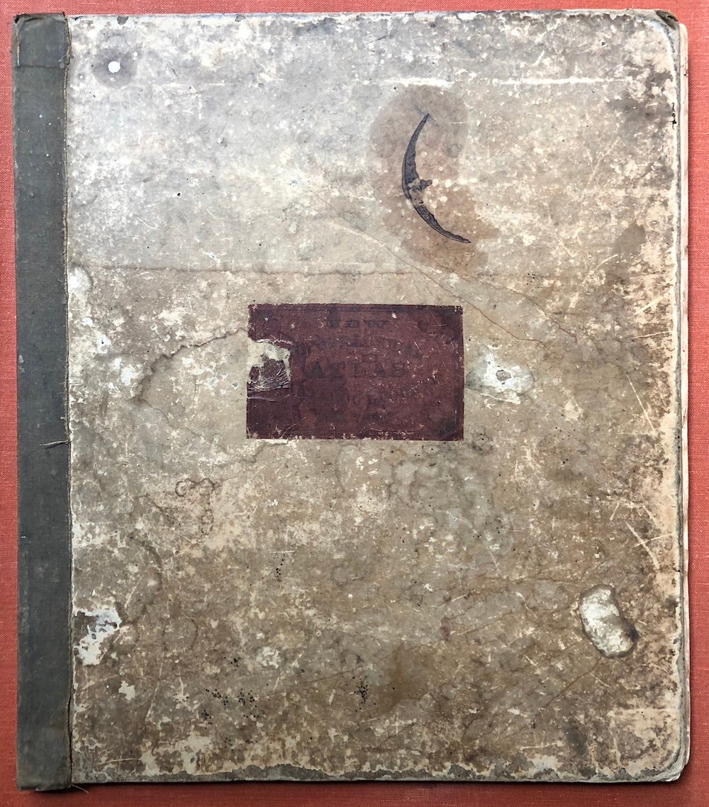
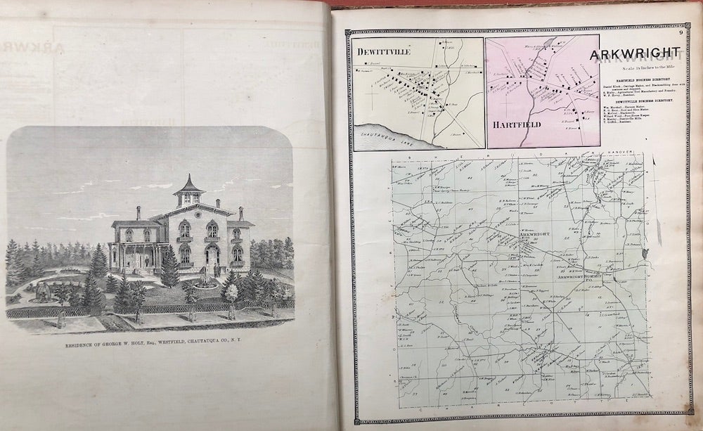
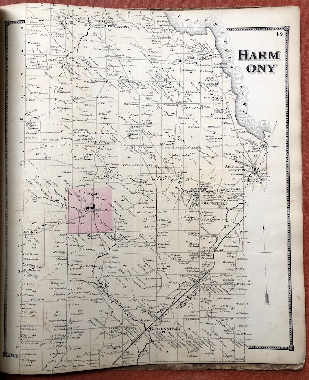
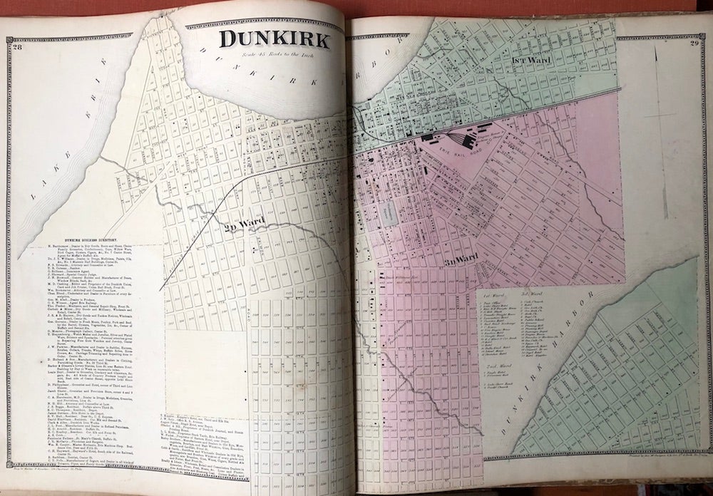
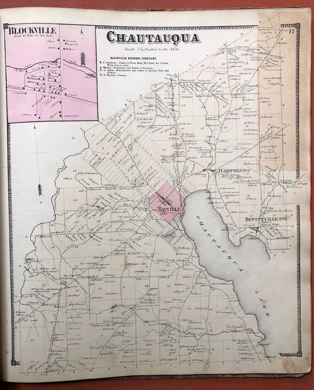
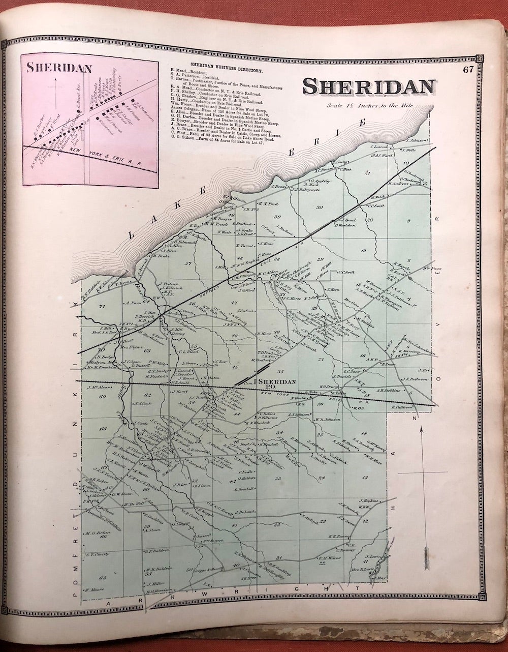
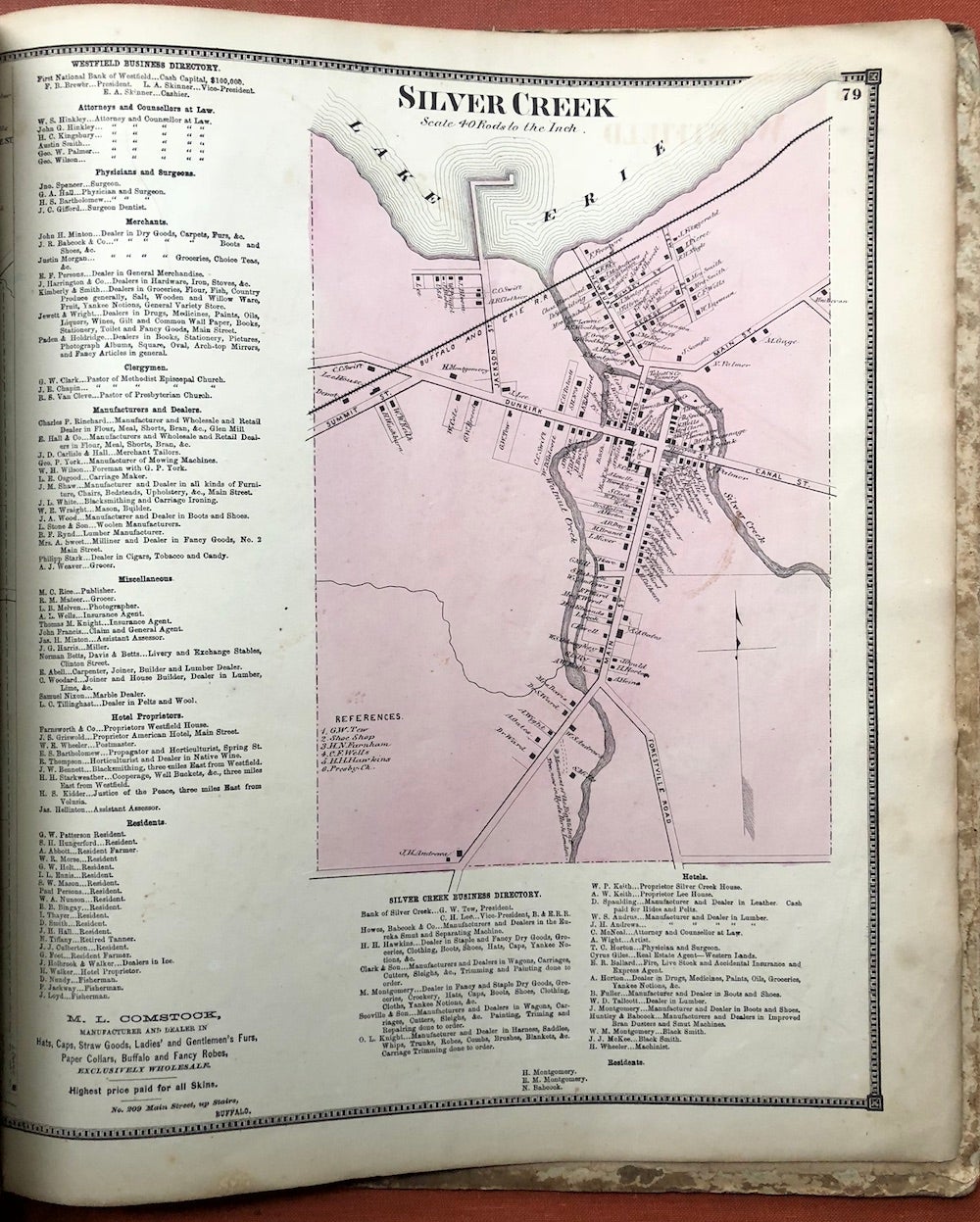
Philadelphia: Wm. Stewart, 1867. Hardcover. Published 1867, folio, paper covered boards, homespun cloth spine, original label on front cover, boards heavily rubbed and stained, 81 pp, collated complete, has 36 maps, almost all in color, two are double page - Dunkirk and Jamestown, plus several woodcut engraved plates of homesteads or businesses, not numbered and bound in seemingly at random between numbered maps. Maps are all in very good condition, age toning, etc, one or two pages have short edge tears, a rare atlas on the market. Good. Item #H3827
Price: $400.00
See all items in
New York
See all items by William Stewart, publisher