
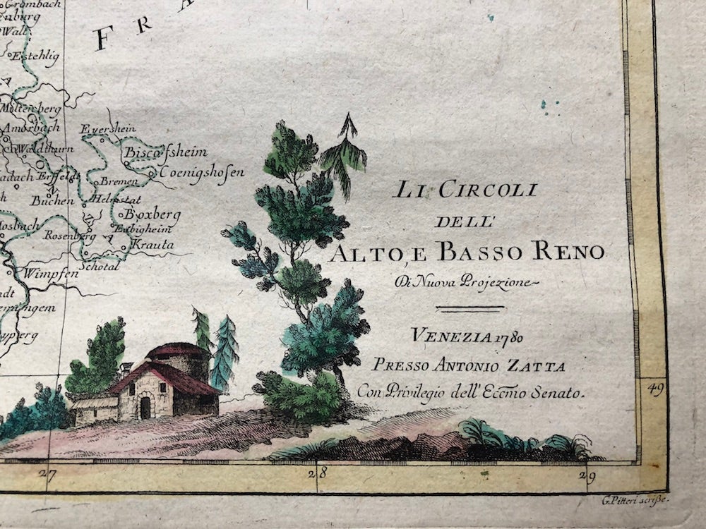
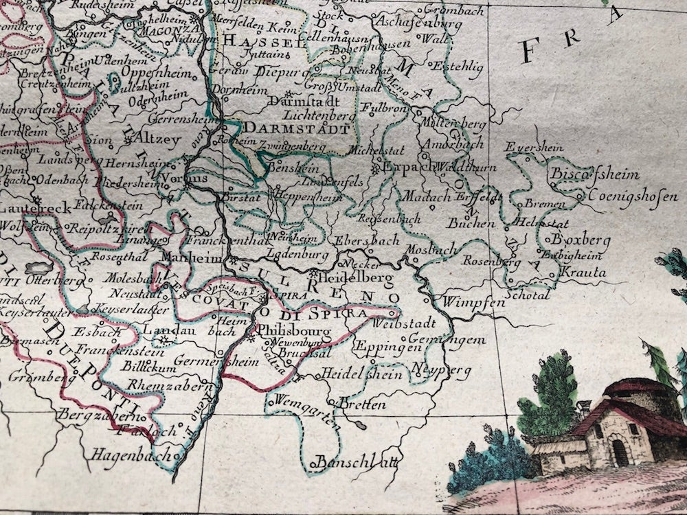
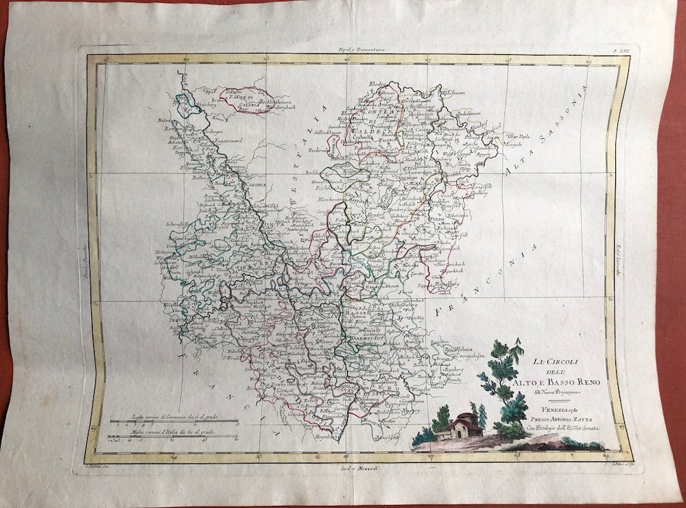
Map of Central Germany, Frankfurt - Cologne region: Li Circoli dell' Alto, e Basso Reno
Venice: Presso Antonio Zatta, 1780. Published 1780, original hand colored map of NE Poland and part of Lithuania. Very good bright example with minor soil to left margin, verso shows foxing, but map itself quite free of blemishes. Sheet measures 20 x 15 inches (51 x 38 cm), plate size is 16.25 x 12 inches (41.5 x 31 cm). Originally published in 'Atlante Novissimo, illustrato ed accresciuto sulle osservazioni, e scoperte fatte dai piu' celebri e piu' recenti geografi' (1783). Very Good. Item #H4277
Price: $140.00
See all items in
Maps & Cartography
See all items by G. Zuliani, Antonio Zatta