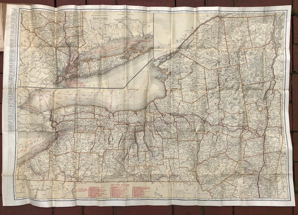
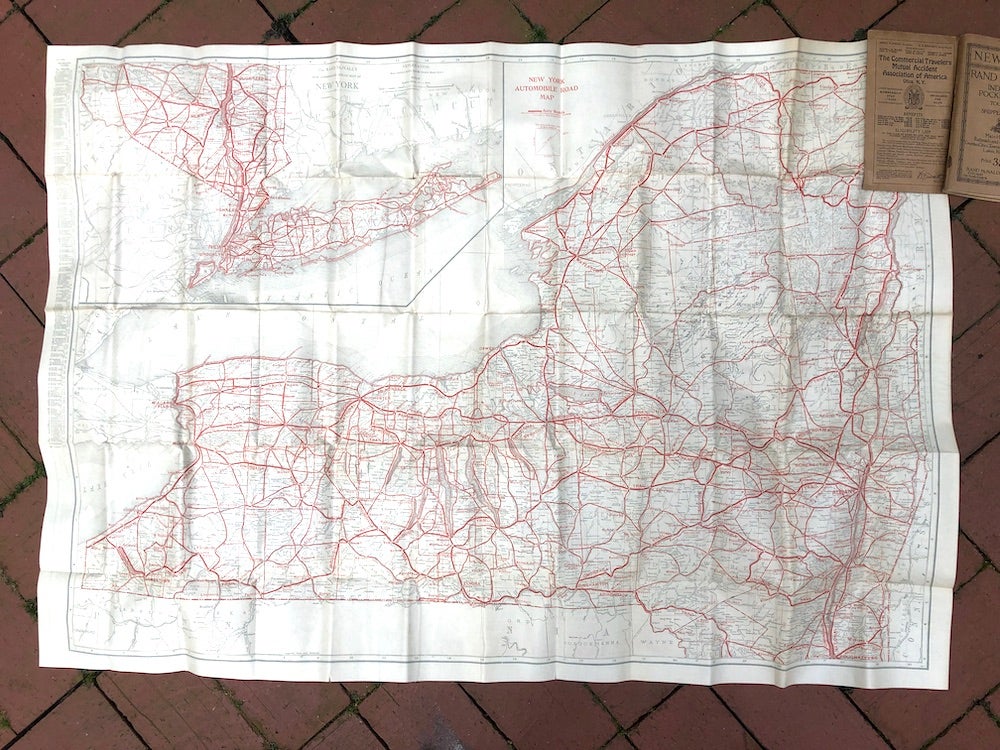
Rand McNally Indexed Pocket map, Tourists' and Shippers' guide of New York -- railroads, electric lines, post offices, express, telegraph and mail service; counties, municipal townships, cities, towns, villages, rivers, lakes, islands, creeks, etc., air service landing fields, population according to the latest official census, main highways
Chicago & NY: Rand McNally, C. 1920. Paperback. Wraps, 102 (10) pp plus, and folding 27 x 39.5 inch two sided color map at rear. VG crisp copy, pages tanned, some neat reinforcement to back cover, a few very small separations at folds to map. RARE, and OCLC locates only 1 copy in institutions: Newberry Library, Chicago. Very Good. Item #H7265
Price: $125.00
See all items in
Maps & Cartography
See all items by Rand McNally Co