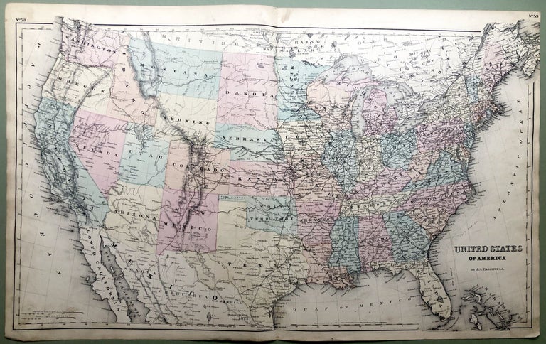
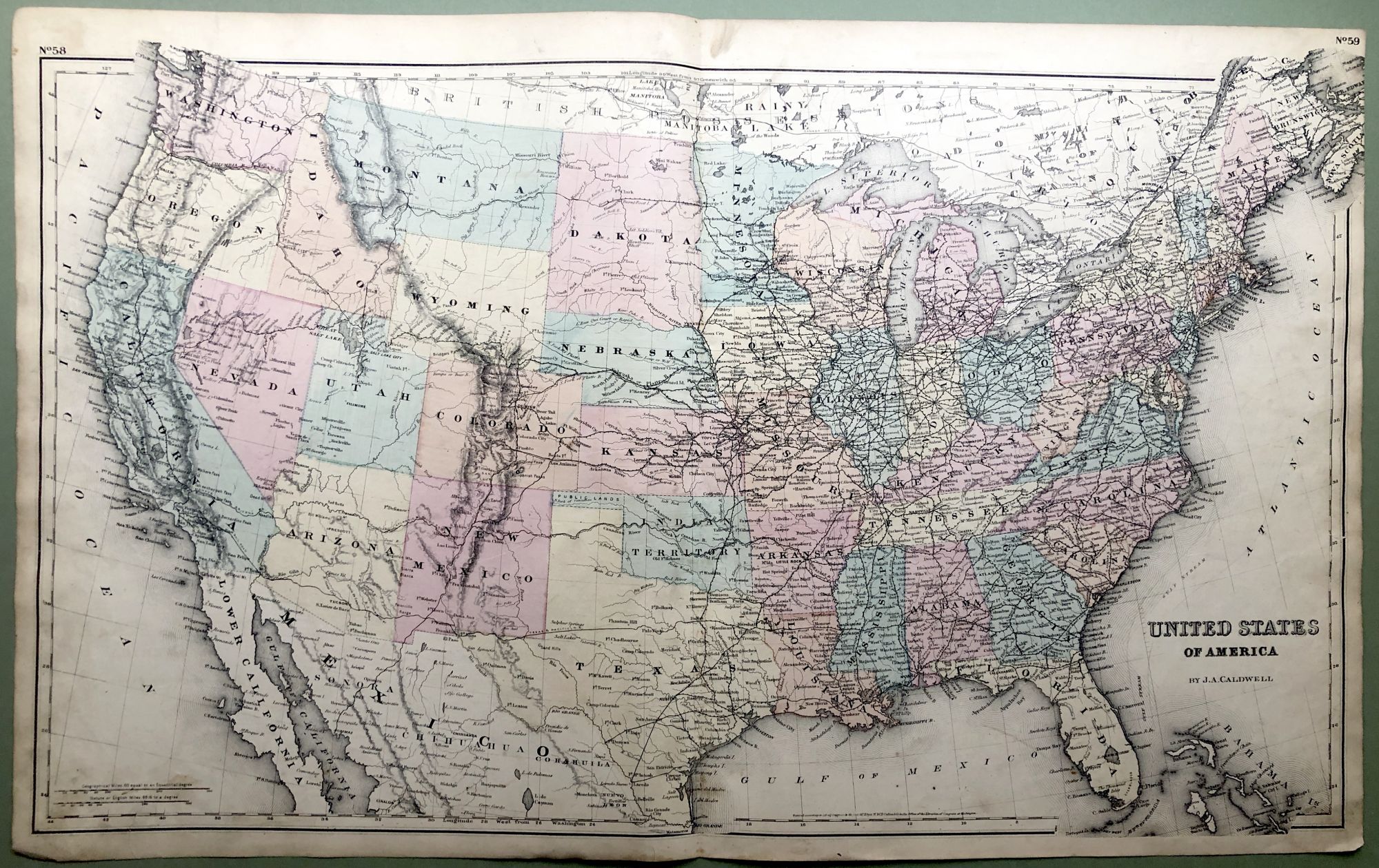
1876 Map of the United States, 29 x 17
Condil, OH: J. A. Caldwell, 1876. Original color tinted map from Caldwell's Illustrated Historical Centennial Atlas of Greene County Pennsylvania...engraved, lithographed & printed by Otto Krebs. Sheet measures 17 inches tall, 28 inches wide. Light wear and soil. Very Good. Item #H8588
Price: $35.00
See all items in
Maps & Cartography
See all items by Otto Krebs