
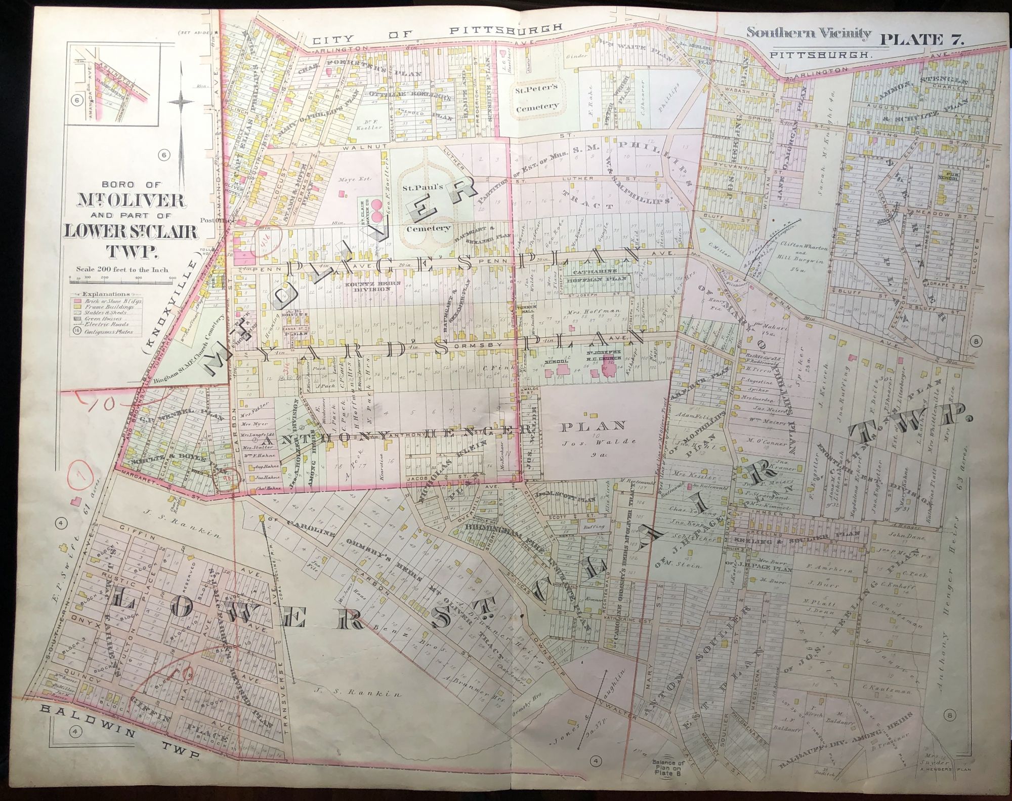
1896 Pittsburgh Plat Map 29 x 23: Lower St. Clair Twp, Mount Oliver
Philadelphia: Griffith M. Hopkins, 1896. `. From 'Real Estate Plat-Book of the Southern Vicinity of Pittsburgh, Penn'a' - double page map in color, very good, light wear and soil, a few light old crayon marks. Item #H9062
Price: $35.00
See all items in
Pittsburgh